Fugro and Enviros have secured contracts with the Norwegian Petroleum Directorate (NPD) for mapping of the shallowest strata under the seabed offshore Norway, with the objective of locating sites that are best suited for the installation of wind turbines.
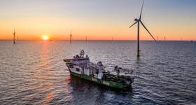
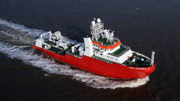
Fugro has won the contract for the Sørlig Nordsjø II area, while Enviros will map Utsira Nord. The Fugro Searcher and the Kommandor Iona vessels will be used for the seabed mapping work.
The companies will acquire seven different measurements.
Geophysicist Lars Jensen, who is managing the project for the NPD said: "MBES (multibeam echosounder) delivers key data sets for bathymetry, acoustic backscatter, and water column data. We will also collect 2D high-resolution seismic, sub-bottom profiler echo-sounder (SBP), side-scanning sonar (SSS) data, as well as magnetometer data."
The NPD was assigned last year to carry out subsurface surveys in the two areas. The two areas have been opened for applications for renewable energy production. Fugro mapped parts of Sørlige Nordsjø II last autumn.
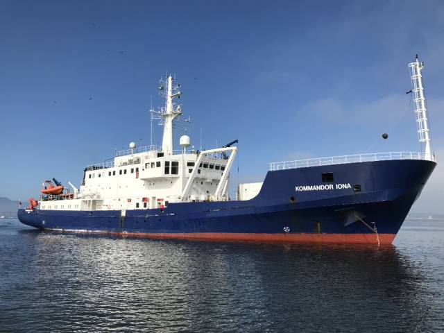
Kommandor Iona. Foto: Enviros
According to NPD, the 2023 fiscal budget includes targeted funding to complete the subsurface surveys in these two areas. According to the plan, this will take place from late April to early September.
While thousands of wells have been drilled on the Norwegian shelf, NPD notes that the focus has not been aimed at the layers directly below the seabed. It is precisely these upper 100–200 meters that are of interest for the wind power companies.
"These are the layers where the wind turbines will be placed, and that’s why we need to know more about the geological and geotechnical properties here. Seabed conditions on the Norwegian shelf are complex and vary between different locations, which is why detailed examinations are needed," Jensen explains.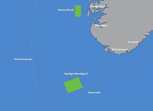 The areas Sørlig Nordsjøen II and Utsira Nord have been opened for applications for renewable energy production. Map: NVE
The geological challenges include shallow gas, large boulder blocks that fell to the seabed when the ice melted, channels, sinkholes, landslides and faults as well as soft and ‘weak’ deposits that extend down into the depth.
"A good factual basis is crucial for sound management of these resources, and this mapping project is an important step towards developing offshore wind on the Norwegian shelf," says Arne Jacobsen, Assistant director for Technology, analyses and coexistence.
"The NPD has many years of experience and extensive knowledge when it comes to operating and acquiring seismic data from the oil and gas industry. It’s positive that this experience can be used to help support the energy transition."
 Subscribe