Arctia Meritaito, a subsidiary of Finland's Arctia, announced it has been awarded a contract by the Norwegian Mapping Authority to perform hydrographic seabed surveying as part of the 2024 Mareano program.
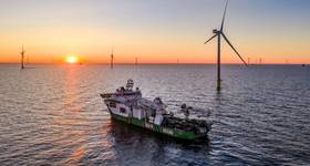
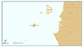
Under its contract from the Norwegian Mapping Authority's Hydrographic Service (NHS), Arctia Meritaito will survey approximately 1,900 square kilometers with multibeam echosounder and sub bottom profiler in potential offshore wind area Sørvest F in the North Sea.
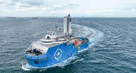
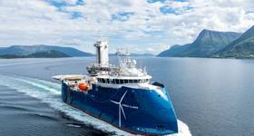
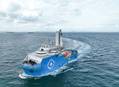
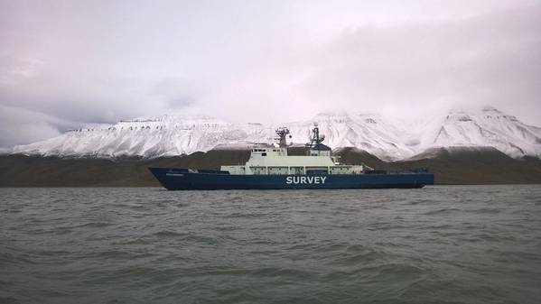
The surveys will be conducted by the multipurpose research vessel Pohjanmeri. Departure to the Norwegian waters is expected as soon as ice has cleared, and the ship will return to Finland near the end of the summer.
The Norwegian government has an ambition to develop offshore wind to increase access to renewable energy.
The contract marks Arctia's third time participating in the Mareano program, which maps depth and topography, sediment composition, biotopes and habitats in Norwegian waters.
 Subscribe