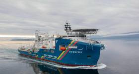
Renewable energy industry supplier Ocean Geophysics has introduced an AI-driven boulder identification tool, which is expected to reduce development risk, time and cost for developers of offshore wind farms.
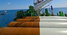
Large, individual boulders as well as boulder fields with thousands, sometimes millions of smaller boulders pose a big challenge for the planning of offshore wind farms and cable routes. An analysis of the seabed is a prerequisite prior to any construction work.
Side-scan sonar – a system for detecting objects on the seafloor – is commonly used to identify boulders on the seabed. This analysis is then used to choose the ideal placement of wind turbines, substations or subsea cables for offshore wind farm developments.
Detecting big boulders is relatively straightforward. However, boulder fields with thousands or tens of thousands of boulders pose significant and costly obstacles to developers as they must obtain both the amount and positioning of boulders to calculate the time and cost of boulder clearance.
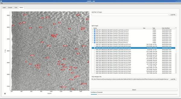
Ocean Geophysics’ new AI-driven boulder identification tool leverages a machine learning algorithm that allows for the automatic detection of boulders as small as 25 cm in size and automatically removes duplicates, according to the company.
The software can process entire seabed survey areas quickly, taking around one second per side-scan line to detect all boulders, Ocean Geophysics claims.
The company will integrate the tool with its specialist offering of processing, interpreting and reporting of marine geophysical data, noting that the software will not be sold as a stand-alone product.
“We have successfully developed an AI-driven software that can automatically identify boulders down to 25 centimetres in height, with the power to remove duplicated boulders from seabed survey data. This will dramatically simplify and expedite the boulder identification process, with the associated time and cost savings for developers.
“This means that boulder identification work, which previously took weeks or months to complete, can now be done in a few seconds,” said Alison Wells, CEO of Ocean Geophysics.
 Subscribe