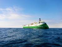
Marine geophysical firm Polarcus Limited announced it has won a contract from Dubai Petroleum Establishment for a combined towed streamer and ocean bottom node (OBN) 3D seismic acquisition and processing project in the Middle East.The project…
Attorneys general from nine U.S. states sued the Trump administration on Thursday to stop future seismic tests for oil and gas deposits off the East Coast, joining a lawsuit from environmentalists concerned the tests harm whales and dolphins…
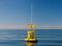
Ocean Power Technologies' PowerBuoy has been deployed in the Adriatic Sea to advance Eni’s R&D MaREnergy project that aims to develop, deploy and demonstrate wave energy renewable technologies in oil and gas operations, the U.S.-based ocean energy solutions provider announced Wednesday…
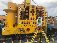
Subsea laser LiDAR (SL) technology and 3D data visualization solutions specialist 3D at Depth said it has expanded several global office locations and launched a new portfolio of services designed to support cohesive workflow efficiencies for offshore oil field design through decommissioning…
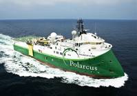
Offshore geophysical company Polarcus Limited announced Monday that it has received a contract award for an XArray marine seismic acquisition project in West Africa.The project will commence in Q1 2019 with an approximate duration of two months…

Environmental groups opposed to offshore drilling sued the federal government on Tuesday to prevent future seismic tests for oil and gas deposits in Atlantic waters off the U.S. East Coast.Seismic testing, which uses air gun blasts, violates federal laws that protect marine mammals…
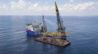
Surveying company UTEC, part of subsea services group Acteon, said it has been awarded a subcontract by McDermott International for a series of survey work scopes offshore eastern India.The work, due to commence in December 2018, will see UTEC…
The UK Hydrographic Office has announced the appointment of Rear Admiral Tim Lowe CBE, the current UK National Hydrographer and Deputy Chief Executive, to the position of Acting Chief Executive and Accounting Officer.Rear Admiral Lowe will fill…
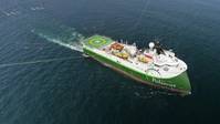
Offshore geophysical company Polarcus Limited said it is being sued by PGS Australia Pty Ltd for patent claims relating to the acquisition of seismic data on three surveys in Australia and the processing of that data.'These proceedings follow…

A new autonomous underwater vehicle (AUV) system rolled out today by Norwegian-based Kongsberg Maritime offers significantly enhanced data, positioning and endurance capabilities.The new HUGIN SUPERIOR AUV system builds upon the existing HUGIN…
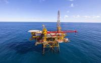
French-based geophysical services company CGG announced Tuesday that its contract with Austrian integrated oil and gas company OMV to operate a dedicated center at its head office in Vienna has been renewed for a further three years.The two…
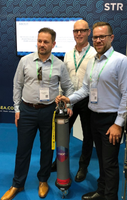
Subsea Technology and Rentals (STR), a multi-disciplinary technology expert specializing in the design, production, rental and sale of innovative marine survey equipment, has become the first company to invest in Sonardyne International Ltd…
Norwegian nodal acquisition company Magseis ASA announced Monday it has signed a Memorandum of Understanding (MoU) with Schlumberger's geophysical services product line WesternGeco to offer joint bundled seismic services including ocean-bottom…
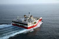
Norwegian seismic firm PGS revealed it has entered into a contract for a 3D survey in South America.PGS did not reveal the name of the client, but said the contract value is estimated to be in excess of $75 million.The company plans to use two…

Remotely operated underwater vehicle (ROV) and hydrographic survey company Rovco said on Wednesday that it has established a dedicated business development team to support its growth plans as it looks to increase its presence in key international markets…
