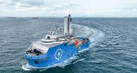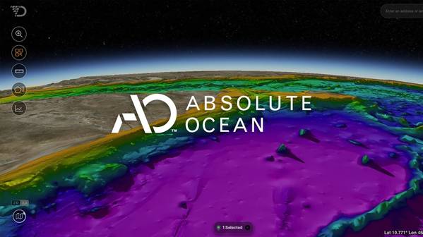
Ocean data technology specialist Terradepth has launched a cloud-native geospatial platform for its offshore energy clients, dubbed Absolute Ocean.
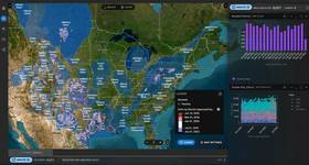
Purpose-built to host complex maritime data, Absolute Ocean provides web-browser based access to ocean maps.
Subsea data collected for stakeholders can be shared, visualized and collaborated on in near real-time, empowering smarter decisions and ensuring sustainable growth in challenging marine environments.
The software operates in the cloud and can ingest diverse types of data, including bathymetric surveys, sonar scans, and video footage. By centralizing and simplifying subsea data access for teams, the secure platform offers visibility into the critical information needed for successful execution of projects.
“Critical ocean data has historically taken days to months to get to decision makers. Now, using the Absolute Ocean platform our users are able to share and access visualized data within 24 hours.
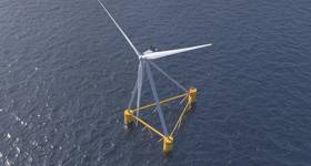
“Current systems can take weeks to realize actionable data. Our offshore partners in petroleum and wind are enabled to access their data in near real-time from any location on our new platform. This leads to safer, more cost-effective, and more environmentally conscious operations,” said Joe Wolfel, CEO of Terradepth.
 Subscribe