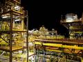
The Fraunhofer Institute for Wind Energy Systems IWES in Germany has been contracted by the Federal Maritime and Hydrographic Agency of Germany (BSH) to carry out a preliminary meteorological investigation in the North Sea as part of the area development plan.
This is the fourth time that IWES has undertaken the preliminary investigations and is helping to further accelerate offshore expansion in Germany.
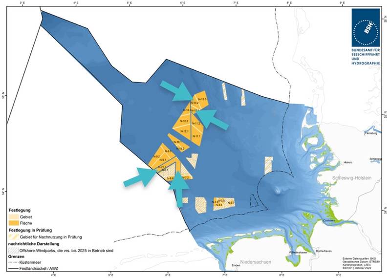
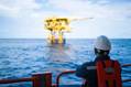
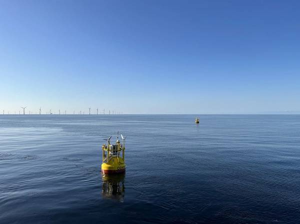
Two Fraunhofer IWES wind lidar buoys (light detection and ranging buoys) will be deployed on each of the N-13 and N-21 sites in the German Bight for a 12-month measurement campaign:
The buoys will precisely record both meteorological and oceanographic data, which will then be processed, evaluated, and complemented by comprehensive data reports. In particular, the measurement results of wind conditions, i.e., wind speed and direction, will contribute to an efficient and economic design of future offshore wind farms, IWES said.
The first two buoys have recently been calibrated at the wind measurement mast FINO3 (research platform in the North and Baltic Sea No. 3) and thereafter deployed in the area N-13 in September.
© Federal Maritime and Hydrographic Agency of Germany
Area Development Plan (Marking: N-13 and N-21)
The final deployment of the other two buoys at the measurement sites will take place in autumn 2023.
For the best possible area coverage by the recorded measurement data, both areas will be surveyed by two buoys each, IWES said.
This further offers an advantage in spatial extrapolation through subsequent modeling of the measurement data. During the 365 days at sea, the buoys are permanently automated and manually monitored on a daily basis. The measured data are also continuously checked for plausibility and quality.
Fraunhofer IWES has already completed the first commercial measurement in the German Bight in 2020/21 on behalf of the BSH at area N-7.2. These measurement data have already been published and can be viewed and downloaded via the Surface Preliminary Investigation (PINTA) data portal.
The data sets generated by IWES will be used by future wind farm operators to determine the number of wind turbines, for the layout of the wind farm and for the structural design of the wind turbines. The second lidar measurement started in 2022 at Site N-9 and was completed this summer. This data will also be published via PINTA once the process is complete.
 Subscribe