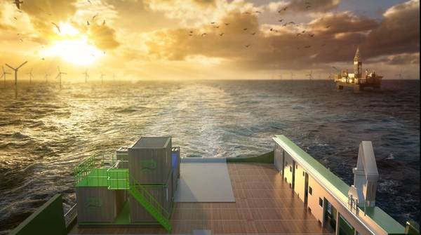
3D at Depth, a company specializing in commercial Subsea LiDAR (SL) laser technology, and a provider of underwater survey services and 3D data solutions, on Tuesday announced the launch of its offshore Geophysical Survey Services division.
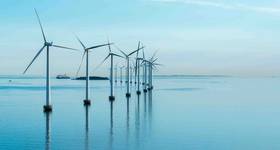
According to 3D at Depth, the new division will provide surveys to support both nearshores, inshore, and offshore deepwater development activities focused in the areas of offshore wind farms, pipeline routes, environmental site surveys, offshore oil and gas projects, and civil engineering surveys.
The firm said that its new division was supported by a team of experienced LiDAR experts, 3D data specialists, geophysical, and hydrographic professionals providing "a multi-disciplined approach to guide, identify and analyze data acquisition initiatives across survey campaigns."
"Since the company formation, we’ve focused on developing flexible site and subsea asset characterization technologies designed to reduce crew time and dramatically lower CO2 emissions, while increasing the speed and quality of the results,“ stated Neil Manning, COO, 3D at Depth, Inc. “By deploying smaller, more efficient vessels that can be operated safely outside the 500m zone or offshore exclusion areas without sacrificing data quality is a differentiator.
"When we looked at the problem, we found a gap in the Geophysical market for this type of implementation that delivers cost-efficient surveys that still provide maximum data quality. Specifically, we pulled from our deep-water technology portfolio to fast-track a solution that meets the current requirements of the shallow water survey market. With over 600 offshore projects behind us and an increasing backlog, I am excited to push the flexible vehicle systems and in-house patented technology into the geophysical market. By moving the budget needle in the right direction for our customers' survey projects, we assist the offshore energy market in obtaining quality data for a reasonable price.”
3D at Depth said that its geophysical survey services recently completed a major project for post-hurricane NTL surveys in the Gulf of Mexico for a large U.S. based pipeline company. The project continues with expanded requirements.
Geophysical and geotechnical capabilities for the projects will be available from vessel mounted or subsea vehicle-mounted methods to allow for both long and close-range inspections which enable a blend of efficient data collection and high data quality to meet and exceed the demands from the end-users, the company said.
Among 3D at Depth's solutions in the new branch is a hovering supervised autonomous AUV/ ROV package and uses the company's Subsea LiDAR (SL) laser with remote sensing technology - inertial navigation coupled with a multibeam echosounder and pipeline and hydrocarbon leak detection sensors.
Below is the range of services included in 3D at Depth's new Geophysical Survey Services division, as shared by the company:
 Subscribe